Localization, Reconstruction and Mapping. Research at the Department of Photogrammetry
|
|
|
- Octavia Webster
- 6 years ago
- Views:
Transcription

1 Localization, Reconstruction and Mapping Research at the Department of Photogrammetry 1 Department of Photogrammetry Institute for Geodesy and Geoinformation Universtity Bonn Situation Photogrammetry and its neighbours 2

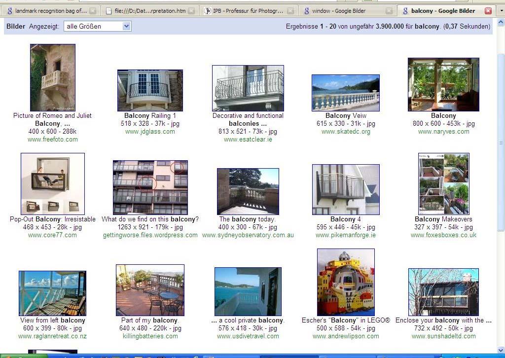
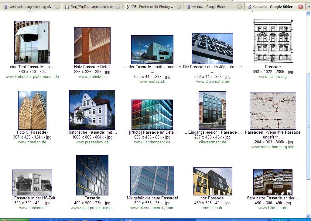
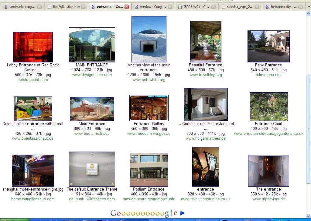
2 Topics of Photogrammetry Methods: Extracting information from 2D images Aerial Terrestrial LIDAR Image sequences Applications Mapping Data capture for Geoinformation systems Monitoring High precision inverse engineering 3 Search in Virtual Earth How m anyfloors has thisbuilding? 4 Istherea balcony in the 7 th floor? Show m e the entrance

3 Windows 5 6
4 7 8
5 Photogrammetry at Bonn currently Making basic tools available to non specialists Orientation Calibration (Stereo) 9 Exploring ML techniques for interpretation Efficient tools Incremental learning structures Application areas: Urban mapping Agricultural sciences Topics Orientation and Reconstruction Complementarity of Keypoints (Timo Dickscheid) Keypoints in Scalespace (Falko Schindler) Segmentation (Michael Ying Yang) Mapping Classification of Leaf Desease (Sabine Bauer) Interpreting Road Surfaces (Jan Siegemund) Learning of CRF for Facade Interpretation (Filip Korč) Logistic Regression for CRF s (Ribana Roscher) E-Training (Susanne Wenzel) 10


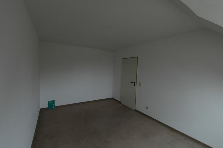
6 Keypoints for Weakly Textured Scenes Given: set of images Constraints: perspective images Task: determine relative pose Problems: 11 Too few keypoints Æ Scale space junction detector (Falko Schindler) Complementarity of keypoints Æ Feature detection as image coding (Timo Dickscheid) 8. October 2009 CV Bonn Poorly textured room October 2009 CV Bonn
: Detecting Interpretable and Accurate Scale-Invariant Keypoints Result of automatic orientation 14")
7 Complementary: blobs and junctions Lowe (2004): Distinctive image features from scale-invariant keypoints 13 Förstner/Dickscheidt/Schindler (2009): Detecting Interpretable and Accurate Scale-Invariant Keypoints Result of automatic orientation 14 Only possible w ith junctions


8 SAR-Segmentation Given: SAR image Constraints: known type of speckle noise Unknown: multi-region segmentation Problem: competetition between regions Solution level-set approach (Michael Yang) 15 Leaf Disease Classification Given: Multi-view multi-spectral images of leaf Constraint: calibrated cameras Unkown: Distribution of leaf desease Problem: Identify adequate features > 95 % acc. Solution: exploit spectral and spatial information Gaussian Mixture Model on Texture (Sabine Bauer) 16


 18")
9 Interpreting road surfaces Intention: 17 Reconstruction of road surfaces Detection and reconstruction of road borders (curbs) Detection of road discontinuities (potholes) Given: Stereo Image sequence Constraints: ego-motion known Goal: identify street boarders, pot holes Problem: Model of road surface Solution: gliding MRF (Jan Siegemund) 18 Videos
10 Learning for Markoff-Fields Given: set of annotated images Constraint: probabilistic model adequate 19 Task: learn model parameters w and v Fast Good classification Problem: NP complete approximate learning Psudolikelihood learning: ML, MAP (Filip Korč) Results 20

11 Logistic Regression for CRF Classification Given: training and test images Constraint: probabilistic model for class posteriors Logistic regression (LR) as input for CRF Goal: Multiple-Class-Segmentation Problem: L 2 -norm regularization too crisp labeling Solution: bounded LR regulariz. (Ribana Roscher) 21 E-Training Given: a large set of training images Constraint: known classes Goal: rules for providing machine-learner with examples Fast learning Accurate learning Problems: unknown permutation of images and classes Solution: learn separability and locally minimize Bayes error (Susanne Wenzel) 22

12 Training eight window classes mean sam ple 23 Outlook Exploit structures Use structures for learning Learn structures for interpretation Include 3D features, time features 24 Integrate image interpretation into mapping pipeline Exploitation of Bonn s expertise, e.g. Cropsense
13 Thanks for you attention 25 Please have a look at the posters
Computer Vision and Remote Sensing. Lessons Learned
 Computer Vision and Remote Sensing Lessons Learned 1 Department of Photogrammetry Institute for Geodesy and Geoinformation Universtity Bonn Outline Photogrammetry and its relatives Remote Sensing: the
Incremental Real-time Bundle Adjustment for Multi-camera Systems with Points at Infinity
 Incremental Real-time Bundle Adjustment for Multi-camera Systems with Points at Infinity Johannes Schneider, Thomas Läbe, Wolfgang Förstner 1 Department of Photogrammetry Institute of Geodesy and Geoinformation
Unsupervised and Self-taught Learning for Remote Sensing Image Analysis
 Unsupervised and Self-taught Learning for Remote Sensing Image Analysis Ribana Roscher Institute of Geodesy and Geoinformation, Remote Sensing Group, University of Bonn 1 The Changing Earth https://earthengine.google.com/timelapse/
City-Modeling. Detecting and Reconstructing Buildings from Aerial Images and LIDAR Data
 City-Modeling Detecting and Reconstructing Buildings from Aerial Images and LIDAR Data Department of Photogrammetrie Institute for Geodesy and Geoinformation Bonn 300000 inhabitants At river Rhine University
COSC160: Detection and Classification. Jeremy Bolton, PhD Assistant Teaching Professor
 COSC160: Detection and Classification Jeremy Bolton, PhD Assistant Teaching Professor Outline I. Problem I. Strategies II. Features for training III. Using spatial information? IV. Reducing dimensionality
Computer Vision. Introduction
 Computer Vision Introduction Filippo Bergamasco (filippo.bergamasco@unive.it) http://www.dais.unive.it/~bergamasco DAIS, Ca Foscari University of Venice Academic year 2016/2017 About this course Official
In: Stilla U, Rottensteiner F, Paparoditis N (Eds) CMRT09. IAPRS, Vol. XXXVIII, Part 3/W4 --- Paris, France, 3-4 September, 2009
 CMRT09. IAPRS, Vol. XXXVIII, Part 3/W4 --- Paris, France, 3-4 September, 2009") In: Stilla U, Rottensteiner F, Paparoditis N (Eds) CMRT09. IAPRS, Vol. XXXVIII, Part 3/W4 --- Paris, France, 3-4 September, 2009 IMPROVING IMAGE SEGMENTATION USING MULTIPLE VIEW ANALYSIS Martin Drauschke,
In: Stilla U, Rottensteiner F, Paparoditis N (Eds) CMRT09. IAPRS, Vol. XXXVIII, Part 3/W4 --- Paris, France, 3-4 September, 2009 IMPROVING IMAGE SEGMENTATION USING MULTIPLE VIEW ANALYSIS Martin Drauschke,
From Orientation to Functional Modeling for Terrestrial and UAV Images
 From Orientation to Functional Modeling for Terrestrial and UAV Images Helmut Mayer 1 Andreas Kuhn 1, Mario Michelini 1, William Nguatem 1, Martin Drauschke 2 and Heiko Hirschmüller 2 1 Visual Computing,
IMAGINE EXPANSION PACK Extend the Power of ERDAS IMAGINE
 IMAGINE EXPANSION PACK Extend the Power of ERDAS IMAGINE IMAGINE EXPANSION PACK IMAGINE Expansion Pack is a collection of functionality to extend the utility of ERDAS IMAGINE. It includes 3D visualization
UAV-based Mapping of Surface Imperviousness for Water Runoff Modelling
 UAV-based Mapping of Surface Imperviousness for Water Runoff Modelling Piotr Tokarczyk, Jörg Rieckermann, Frank Blumensaat, Joao Paulo Leitao and Konrad Schindler Institute for Geodesy and Photogrammetry
1. Introduction. A CASE STUDY Dense Image Matching Using Oblique Imagery Towards All-in- One Photogrammetry
 Submitted to GIM International FEATURE A CASE STUDY Dense Image Matching Using Oblique Imagery Towards All-in- One Photogrammetry Dieter Fritsch 1, Jens Kremer 2, Albrecht Grimm 2, Mathias Rothermel 1
Structure from Motion. Introduction to Computer Vision CSE 152 Lecture 10
 Structure from Motion CSE 152 Lecture 10 Announcements Homework 3 is due May 9, 11:59 PM Reading: Chapter 8: Structure from Motion Optional: Multiple View Geometry in Computer Vision, 2nd edition, Hartley
Pairwise Threshold for Gaussian Mixture Classification and its Application on Human Tracking Enhancement
 Pairwise Threshold for Gaussian Mixture Classification and its Application on Human Tracking Enhancement Daegeon Kim Sung Chun Lee Institute for Robotics and Intelligent Systems University of Southern
High Definition Modeling of Calw, Badstrasse and its Google Earth Integration
 Master Thesis Yuanting LI High Definition Modeling of Calw, Badstrasse and its Google Earth Integration Duration of the Thesis: 6 months Completion: July, 2014 Supervisors: Prof.Dr.-Ing.Dieter Fritsch
Tracking. Establish where an object is, other aspects of state, using time sequence Biggest problem -- Data Association
 Tracking Establish where an object is, other aspects of state, using time sequence Biggest problem -- Data Association Key ideas Tracking by detection Tracking through flow Track by detection (simple form)
FAST REGISTRATION OF TERRESTRIAL LIDAR POINT CLOUD AND SEQUENCE IMAGES
 FAST REGISTRATION OF TERRESTRIAL LIDAR POINT CLOUD AND SEQUENCE IMAGES Jie Shao a, Wuming Zhang a, Yaqiao Zhu b, Aojie Shen a a State Key Laboratory of Remote Sensing Science, Institute of Remote Sensing
Statistics of Natural Image Categories
 Statistics of Natural Image Categories Authors: Antonio Torralba and Aude Oliva Presented by: Sebastian Scherer Experiment Please estimate the average depth from the camera viewpoint to all locations(pixels)
SEMI-SUPERVISED INCREMENTAL LEARNING OF HIERARCHICAL APPEARANCE MODELS
 SEMI-SUPERVISED INCREMENTAL LEARNING OF HIERARCHICAL APPEARANCE MODELS Susanne Wenzel and Wolfgang Förstner Department of Photogrammetry Institute of Geodesy and Geo Information, University of Bonn susanne.wenzel@uni-bonn.de,
etrims Scene Interpretation Datasets
 Universität Hamburg Technical Report FBI-HH-M-345/10 etrims Scene Interpretation Datasets Johannes Hartz Patrick Koopmann Arne Kreutzmann Kasim Terzić {hartz koopmann terzic}@ informatik.uni-hamburg.de
AUTOMATIC EXTRACTION OF BUILDING FEATURES FROM TERRESTRIAL LASER SCANNING
 AUTOMATIC EXTRACTION OF BUILDING FEATURES FROM TERRESTRIAL LASER SCANNING Shi Pu and George Vosselman International Institute for Geo-information Science and Earth Observation (ITC) spu@itc.nl, vosselman@itc.nl
Oblique aerial imagery in the praxis: applications and challenges
 ISPRS / EuroSDR Workshop on Oblique aerial cameras sensors and data processing Barcelona, 10 October 2017 Oblique aerial imagery in the praxis: applications and challenges Daniela Poli, Kjersti Moe, Klaus
From Multi-sensor Data to 3D Reconstruction of Earth Surface: Innovative, Powerful Methods for Geoscience and Other Applications
 From Multi-sensor Data to 3D Reconstruction of Earth Surface: Innovative, Powerful Methods for Geoscience and Other Applications Bea Csatho, Toni Schenk*, Taehun Yoon* and Michael Sheridan, Department
CS231A Section 6: Problem Set 3
 CS231A Section 6: Problem Set 3 Kevin Wong Review 6 -! 1 11/09/2012 Announcements PS3 Due 2:15pm Tuesday, Nov 13 Extra Office Hours: Friday 6 8pm Huang Common Area, Basement Level. Review 6 -! 2 Topics
Segmentation. Bottom up Segmentation Semantic Segmentation
 Segmentation Bottom up Segmentation Semantic Segmentation Semantic Labeling of Street Scenes Ground Truth Labels 11 classes, almost all occur simultaneously, large changes in viewpoint, scale sky, road,
AUTOMATED 3D RECONSTRUCTION OF URBAN AREAS FROM NETWORKS OF WIDE-BASELINE IMAGE SEQUENCES
 AUTOMATED 3D RECONSTRUCTION OF URBAN AREAS FROM NETWORKS OF WIDE-BASELINE IMAGE SEQUENCES HelmutMayer, JanBartelsen Institute of Geoinformation and Computer Vision, Bundeswehr University Munich - (Helmut.Mayer,
Domain Adaptation For Mobile Robot Navigation
 Domain Adaptation For Mobile Robot Navigation David M. Bradley, J. Andrew Bagnell Robotics Institute Carnegie Mellon University Pittsburgh, 15217 dbradley, dbagnell@rec.ri.cmu.edu 1 Introduction An important
3D model search and pose estimation from single images using VIP features
 3D model search and pose estimation from single images using VIP features Changchang Wu 2, Friedrich Fraundorfer 1, 1 Department of Computer Science ETH Zurich, Switzerland {fraundorfer, marc.pollefeys}@inf.ethz.ch
AERIAL PHOTO BUILDING CLASSIFICATION BY STACKING APPEARANCE AND ELEVATION MEASUREMENTS
 AERIAL PHOTO BUILDING CLASSIFICATION BY STACKING APPEARANCE AND ELEVATION MEASUREMENTS T.T. Nguyen, S. Kluckner, H. Bischof, F. Leberl Institute for Computer Graphics and Vision, Graz University of Technology,
Digital Image Processing
 Digital Image Processing Part 9: Representation and Description AASS Learning Systems Lab, Dep. Teknik Room T1209 (Fr, 11-12 o'clock) achim.lilienthal@oru.se Course Book Chapter 11 2011-05-17 Contents
Cognitive States Detection in fmri Data Analysis using incremental PCA
 Department of Computer Engineering Cognitive States Detection in fmri Data Analysis using incremental PCA Hoang Trong Minh Tuan, Yonggwan Won*, Hyung-Jeong Yang International Conference on Computational
Image-Based Buildings and Facades
 Image-Based Buildings and Facades Peter Wonka Associate Professor of Computer Science Arizona State University Daniel G. Aliaga Associate Professor of Computer Science Purdue University Challenge Generate
Static Scene Reconstruction
 GPU supported Real-Time Scene Reconstruction with a Single Camera Jan-Michael Frahm, 3D Computer Vision group, University of North Carolina at Chapel Hill Static Scene Reconstruction 1 Capture on campus
REFINEMENT OF BUILDING FASSADES BY INTEGRATED PROCESSING OF LIDAR AND IMAGE DATA
 In: Stilla U et al (Eds) PIA07. International Archives of Photogrammetry, Remote Sensing and Spatial Information Sciences, 36 (3/W49A) REFINEMENT OF BUILDING FASSADES BY INTEGRATED PROCESSING OF LIDAR
Multiview Photogrammetry 3D Virtual Geology for everyone
 Multiview Photogrammetry 3D Virtual Geology for everyone A short course Marko Vrabec University of Ljubljana, Department of Geology FIRST: some background info Precarious structural measurements of fractures
A Sample of Monte Carlo Methods in Robotics and Vision. Credits. Outline. Structure from Motion. without Correspondences
 A Sample of Monte Carlo Methods in Robotics and Vision Frank Dellaert College of Computing Georgia Institute of Technology Credits Zia Khan Tucker Balch Michael Kaess Rafal Zboinski Ananth Ranganathan
Automatic Photo Popup
 Automatic Photo Popup Derek Hoiem Alexei A. Efros Martial Hebert Carnegie Mellon University What Is Automatic Photo Popup Introduction Creating 3D models from images is a complex process Time-consuming
Applied Bayesian Nonparametrics 5. Spatial Models via Gaussian Processes, not MRFs Tutorial at CVPR 2012 Erik Sudderth Brown University
 Applied Bayesian Nonparametrics 5. Spatial Models via Gaussian Processes, not MRFs Tutorial at CVPR 2012 Erik Sudderth Brown University NIPS 2008: E. Sudderth & M. Jordan, Shared Segmentation of Natural
VISION FOR AUTOMOTIVE DRIVING
 VISION FOR AUTOMOTIVE DRIVING French Japanese Workshop on Deep Learning & AI, Paris, October 25th, 2017 Quoc Cuong PHAM, PhD Vision and Content Engineering Lab AI & MACHINE LEARNING FOR ADAS AND SELF-DRIVING
Observing people with multiple cameras
 First Short Spring School on Surveillance (S 4 ) May 17-19, 2011 Modena,Italy Course Material Observing people with multiple cameras Andrea Cavallaro Queen Mary University, London (UK) Observing people
Active Monte Carlo Recognition
 Active Monte Carlo Recognition Felix v. Hundelshausen 1 and Manuela Veloso 2 1 Computer Science Department, Freie Universität Berlin, 14195 Berlin, Germany hundelsh@googlemail.com 2 Computer Science Department,
GRAPHICS TOOLS FOR THE GENERATION OF LARGE SCALE URBAN SCENES
 GRAPHICS TOOLS FOR THE GENERATION OF LARGE SCALE URBAN SCENES Norbert Haala, Martin Kada, Susanne Becker, Jan Böhm, Yahya Alshawabkeh University of Stuttgart, Institute for Photogrammetry, Germany Forename.Lastname@ifp.uni-stuttgart.de
Multi-modal, multi-temporal data analysis for urban remote sensing
 Multi-modal, multi-temporal data analysis for urban remote sensing Xiaoxiang Zhu www.sipeo.bgu.tum.de 10.10.2017 Uncontrolled Growth in Mumbai Slums Leads to Massive Fires and Floods So2Sat: Big Data for
Srikumar Ramalingam. Review. 3D Reconstruction. Pose Estimation Revisited. School of Computing University of Utah
 School of Computing University of Utah Presentation Outline 1 2 3 Forward Projection (Reminder) u v 1 KR ( I t ) X m Y m Z m 1 Backward Projection (Reminder) Q K 1 q Presentation Outline 1 2 3 Sample Problem
BUILDING POINT GROUPING USING VIEW-GEOMETRY RELATIONS INTRODUCTION
 BUILDING POINT GROUPING USING VIEW-GEOMETRY RELATIONS I-Chieh Lee 1, Shaojun He 1, Po-Lun Lai 2, Alper Yilmaz 2 1 Mapping and GIS Laboratory 2 Photogrammetric Computer Vision Laboratory Dept. of Civil
Scale Invariant Feature Transform
 Scale Invariant Feature Transform Why do we care about matching features? Camera calibration Stereo Tracking/SFM Image moiaicing Object/activity Recognition Objection representation and recognition Image
HIERARCHICAL CONDITIONAL RANDOM FIELD FOR MULTI-CLASS IMAGE CLASSIFICATION
 HIERARCHICAL CONDITIONAL RANDOM FIELD FOR MULTI-CLASS IMAGE CLASSIFICATION Michael Ying Yang, Wolfgang Förstner Department of Photogrammetry, Bonn University, Bonn, Germany michaelyangying@uni-bonn.de,
Enhancing photogrammetric 3d city models with procedural modeling techniques for urban planning support
 IOP Conference Series: Earth and Environmental Science OPEN ACCESS Enhancing photogrammetric 3d city models with procedural modeling techniques for urban planning support To cite this article: S Schubiger-Banz
AUTOMATIC INTERPRETATION OF HIGH RESOLUTION SAR IMAGES: FIRST RESULTS OF SAR IMAGE SIMULATION FOR SINGLE BUILDINGS
 AUTOMATIC INTERPRETATION OF HIGH RESOLUTION SAR IMAGES: FIRST RESULTS OF SAR IMAGE SIMULATION FOR SINGLE BUILDINGS J. Tao *, G. Palubinskas, P. Reinartz German Aerospace Center DLR, 82234 Oberpfaffenhofen,
Outline of Presentation. Introduction to Overwatch Geospatial Software Feature Analyst and LIDAR Analyst Software
 Outline of Presentation Automated Feature Extraction from Terrestrial and Airborne LIDAR Presented By: Stuart Blundell Overwatch Geospatial - VLS Ops Co-Author: David W. Opitz Overwatch Geospatial - VLS
CO-REGISTERING AND NORMALIZING STEREO-BASED ELEVATION DATA TO SUPPORT BUILDING DETECTION IN VHR IMAGES
 CO-REGISTERING AND NORMALIZING STEREO-BASED ELEVATION DATA TO SUPPORT BUILDING DETECTION IN VHR IMAGES Alaeldin Suliman, Yun Zhang, Raid Al-Tahir Department of Geodesy and Geomatics Engineering, University
Analysis: TextonBoost and Semantic Texton Forests. Daniel Munoz Februrary 9, 2009
 Analysis: TextonBoost and Semantic Texton Forests Daniel Munoz 16-721 Februrary 9, 2009 Papers [shotton-eccv-06] J. Shotton, J. Winn, C. Rother, A. Criminisi, TextonBoost: Joint Appearance, Shape and Context
Chapter 3 Image Registration. Chapter 3 Image Registration
 Chapter 3 Image Registration Distributed Algorithms for Introduction (1) Definition: Image Registration Input: 2 images of the same scene but taken from different perspectives Goal: Identify transformation
Overview. Augmented reality and applications Marker-based augmented reality. Camera model. Binary markers Textured planar markers
 Augmented reality Overview Augmented reality and applications Marker-based augmented reality Binary markers Textured planar markers Camera model Homography Direct Linear Transformation What is augmented
Markov Networks in Computer Vision. Sargur Srihari
 Markov Networks in Computer Vision Sargur srihari@cedar.buffalo.edu 1 Markov Networks for Computer Vision Important application area for MNs 1. Image segmentation 2. Removal of blur/noise 3. Stereo reconstruction
Image-based 3D Data Capture in Urban Scenarios
 Photogrammetric Week '15 Dieter Fritsch (Ed.) Wichmann/VDE Verlag, Belin & Offenbach, 2015 Haala, Rothermel 119 Image-based 3D Data Capture in Urban Scenarios Norbert Haala, Mathias Rothermel, Stuttgart
Accurate Motion Estimation and High-Precision 3D Reconstruction by Sensor Fusion
 007 IEEE International Conference on Robotics and Automation Roma, Italy, 0-4 April 007 FrE5. Accurate Motion Estimation and High-Precision D Reconstruction by Sensor Fusion Yunsu Bok, Youngbae Hwang,
Direct Methods in Visual Odometry
 Direct Methods in Visual Odometry July 24, 2017 Direct Methods in Visual Odometry July 24, 2017 1 / 47 Motivation for using Visual Odometry Wheel odometry is affected by wheel slip More accurate compared
Automated Extraction of Buildings from Aerial LiDAR Point Cloud and Digital Imaging Datasets for 3D Cadastre - Preliminary Results
 Automated Extraction of Buildings from Aerial LiDAR Point Cloud and Digital Imaging Datasets for 3D Pankaj Kumar 1*, Alias Abdul Rahman 1 and Gurcan Buyuksalih 2 ¹Department of Geoinformation Universiti
Camera Registration in a 3D City Model. Min Ding CS294-6 Final Presentation Dec 13, 2006
 Camera Registration in a 3D City Model Min Ding CS294-6 Final Presentation Dec 13, 2006 Goal: Reconstruct 3D city model usable for virtual walk- and fly-throughs Virtual reality Urban planning Simulation
Srikumar Ramalingam. Review. 3D Reconstruction. Pose Estimation Revisited. School of Computing University of Utah
 School of Computing University of Utah Presentation Outline 1 2 3 Forward Projection (Reminder) u v 1 KR ( I t ) X m Y m Z m 1 Backward Projection (Reminder) Q K 1 q Q K 1 u v 1 What is pose estimation?
CAP 5415 Computer Vision. Fall 2011
 CAP 5415 Computer Vision Fall 2011 General Instructor: Dr. Mubarak Shah Email: shah@eecs.ucf.edu Office: 247-F HEC Course Class Time Tuesdays, Thursdays 12 Noon to 1:15PM 383 ENGR Office hours Tuesdays
BUILDING DETECTION AND STRUCTURE LINE EXTRACTION FROM AIRBORNE LIDAR DATA
 BUILDING DETECTION AND STRUCTURE LINE EXTRACTION FROM AIRBORNE LIDAR DATA C. K. Wang a,, P.H. Hsu a, * a Dept. of Geomatics, National Cheng Kung University, No.1, University Road, Tainan 701, Taiwan. China-
Using the Forest to See the Trees: Context-based Object Recognition
 Using the Forest to See the Trees: Context-based Object Recognition Bill Freeman Joint work with Antonio Torralba and Kevin Murphy Computer Science and Artificial Intelligence Laboratory MIT A computer
Computer Vision with MATLAB MATLAB Expo 2012 Steve Kuznicki
 Computer Vision with MATLAB MATLAB Expo 2012 Steve Kuznicki 2011 The MathWorks, Inc. 1 Today s Topics Introduction Computer Vision Feature-based registration Automatic image registration Object recognition/rotation
Temporal Modeling and Missing Data Estimation for MODIS Vegetation data
 Temporal Modeling and Missing Data Estimation for MODIS Vegetation data Rie Honda 1 Introduction The Moderate Resolution Imaging Spectroradiometer (MODIS) is the primary instrument on board NASA s Earth
Expectation Maximization (EM) and Gaussian Mixture Models
 and Gaussian Mixture Models") Expectation Maximization (EM) and Gaussian Mixture Models Reference: The Elements of Statistical Learning, by T. Hastie, R. Tibshirani, J. Friedman, Springer 1 2 3 4 5 6 7 8 Unsupervised Learning Motivation
Expectation Maximization (EM) and Gaussian Mixture Models Reference: The Elements of Statistical Learning, by T. Hastie, R. Tibshirani, J. Friedman, Springer 1 2 3 4 5 6 7 8 Unsupervised Learning Motivation
Visual localization using global visual features and vanishing points
 Visual localization using global visual features and vanishing points Olivier Saurer, Friedrich Fraundorfer, and Marc Pollefeys Computer Vision and Geometry Group, ETH Zürich, Switzerland {saurero,fraundorfer,marc.pollefeys}@inf.ethz.ch
Scale Invariant Feature Transform
 Why do we care about matching features? Scale Invariant Feature Transform Camera calibration Stereo Tracking/SFM Image moiaicing Object/activity Recognition Objection representation and recognition Automatic
A Lidar-based 4D scene reconstruction system
 A Lidar-based 4D scene reconstruction system Csaba Benedek and Zsolt Jankó MTA SZTAKI, Distributed Events Analysis Research Laboratory & Geometric Modeling and Computer Vision Laboratory http://web.eee.sztaki.hu/i4d/
Region-based Segmentation and Object Detection
 Region-based Segmentation and Object Detection Stephen Gould Tianshi Gao Daphne Koller Presented at NIPS 2009 Discussion and Slides by Eric Wang April 23, 2010 Outline Introduction Model Overview Model
Day 3 Lecture 1. Unsupervised Learning
 Day 3 Lecture 1 Unsupervised Learning Semi-supervised and transfer learning Myth: you can t do deep learning unless you have a million labelled examples for your problem. Reality You can learn useful representations
Image Features: Detection, Description, and Matching and their Applications
 Image Features: Detection, Description, and Matching and their Applications Image Representation: Global Versus Local Features Features/ keypoints/ interset points are interesting locations in the image.
STEREO IMAGE POINT CLOUD AND LIDAR POINT CLOUD FUSION FOR THE 3D STREET MAPPING
 STEREO IMAGE POINT CLOUD AND LIDAR POINT CLOUD FUSION FOR THE 3D STREET MAPPING Yuan Yang, Ph.D. Student Zoltan Koppanyi, Post-Doctoral Researcher Charles K Toth, Research Professor SPIN Lab The University
A COMPARISON OF SPARSE AND DENSE POINT APPROACH TO PHOTOGRAMMETRIC 3D MODELING FOR STONE TEXTURED OBJECTS (CASE STUDY: ARCHEOLOGICAL SITES) ABSTRACT
 ABSTRACT") A COMPARISON OF SPARSE AND DENSE POINT APPROACH TO PHOTOGRAMMETRIC 3D MODELING FOR STONE TEXTURED OBJECTS (CASE STUDY: ARCHEOLOGICAL SITES) Arnadi D. Murtiyoso 1, Deni Suwardhi 2 1,2 Spatial Information
A COMPARISON OF SPARSE AND DENSE POINT APPROACH TO PHOTOGRAMMETRIC 3D MODELING FOR STONE TEXTURED OBJECTS (CASE STUDY: ARCHEOLOGICAL SITES) Arnadi D. Murtiyoso 1, Deni Suwardhi 2 1,2 Spatial Information
Estimation of Camera Pose with Respect to Terrestrial LiDAR Data
 Estimation of Camera Pose with Respect to Terrestrial LiDAR Data Wei Guan Suya You Guan Pang Computer Science Department University of Southern California, Los Angeles, USA Abstract In this paper, we present
Patch-Based Image Classification Using Image Epitomes
 Patch-Based Image Classification Using Image Epitomes David Andrzejewski CS 766 - Final Project December 19, 2005 Abstract Automatic image classification has many practical applications, including photo
OCCLUSION BOUNDARIES ESTIMATION FROM A HIGH-RESOLUTION SAR IMAGE
 OCCLUSION BOUNDARIES ESTIMATION FROM A HIGH-RESOLUTION SAR IMAGE Wenju He, Marc Jäger, and Olaf Hellwich Berlin University of Technology FR3-1, Franklinstr. 28, 10587 Berlin, Germany {wenjuhe, jaeger,
SIFT - scale-invariant feature transform Konrad Schindler
 SIFT - scale-invariant feature transform Konrad Schindler Institute of Geodesy and Photogrammetry Invariant interest points Goal match points between images with very different scale, orientation, projective
Patch-based Object Recognition. Basic Idea
 Patch-based Object Recognition 1! Basic Idea Determine interest points in image Determine local image properties around interest points Use local image properties for object classification Example: Interest
3D Spatial Layout Propagation in a Video Sequence
 3D Spatial Layout Propagation in a Video Sequence Alejandro Rituerto 1, Roberto Manduchi 2, Ana C. Murillo 1 and J. J. Guerrero 1 arituerto@unizar.es, manduchi@soe.ucsc.edu, acm@unizar.es, and josechu.guerrero@unizar.es
Computer vision is the analysis of digital images by a computer for such applications as:
 Introduction Computer vision is the analysis of digital images by a computer for such applications as: Industrial: part localization and inspection, robotics Medical: disease classification, screening,
Simple 3D Reconstruction of Single Indoor Image with Perspe
 Simple 3D Reconstruction of Single Indoor Image with Perspective Cues Jingyuan Huang Bill Cowan University of Waterloo May 26, 2009 1 Introduction 2 Our Method 3 Results and Conclusions Problem Statement
Collaborative Mapping with Streetlevel Images in the Wild. Yubin Kuang Co-founder and Computer Vision Lead
 Collaborative Mapping with Streetlevel Images in the Wild Yubin Kuang Co-founder and Computer Vision Lead Mapillary Mapillary is a street-level imagery platform, powered by collaboration and computer vision.
Homework. Gaussian, Bishop 2.3 Non-parametric, Bishop 2.5 Linear regression Pod-cast lecture on-line. Next lectures:
 Homework Gaussian, Bishop 2.3 Non-parametric, Bishop 2.5 Linear regression 3.0-3.2 Pod-cast lecture on-line Next lectures: I posted a rough plan. It is flexible though so please come with suggestions Bayes
BUILDING MODEL RECONSTRUCTION FROM DATA INTEGRATION INTRODUCTION
 BUILDING MODEL RECONSTRUCTION FROM DATA INTEGRATION Ruijin Ma Department Of Civil Engineering Technology SUNY-Alfred Alfred, NY 14802 mar@alfredstate.edu ABSTRACT Building model reconstruction has been
Outline. Introduction System Overview Camera Calibration Marker Tracking Pose Estimation of Markers Conclusion. Media IC & System Lab Po-Chen Wu 2
 Outline Introduction System Overview Camera Calibration Marker Tracking Pose Estimation of Markers Conclusion Media IC & System Lab Po-Chen Wu 2 Outline Introduction System Overview Camera Calibration
Object-oriented Classification of Urban Areas Using Lidar and Aerial Images
 Journal of the Korean Society of Surveying, Geodesy, Photogrammetry and Cartography Vol. 33, No. 3, 173-179, 2015 http://dx.doi.org/10.7848/ksgpc.2015.33.3.173 ISSN 1598-4850(Print) ISSN 2288-260X(Online)
Remote Sensing Introduction to the course
 Remote Sensing Introduction to the course Remote Sensing (Prof. L. Biagi) Exploitation of remotely assessed data for information retrieval Data: Digital images of the Earth, obtained by sensors recording
An Automatic Method for Adjustment of a Camera Calibration Room
 An Automatic Method for Adjustment of a Camera Calibration Room Presented at the FIG Working Week 2017, May 29 - June 2, 2017 in Helsinki, Finland Theory, algorithms, implementation, and two advanced applications.
All good things must...
 Lecture 17 Final Review All good things must... UW CSE vision faculty Course Grading Programming Projects (80%) Image scissors (20%) -DONE! Panoramas (20%) - DONE! Content-based image retrieval (20%) -
Classification of objects from Video Data (Group 30)
") Classification of objects from Video Data (Group 30) Sheallika Singh 12665 Vibhuti Mahajan 12792 Aahitagni Mukherjee 12001 M Arvind 12385 1 Motivation Video surveillance has been employed for a long time
Classification of objects from Video Data (Group 30) Sheallika Singh 12665 Vibhuti Mahajan 12792 Aahitagni Mukherjee 12001 M Arvind 12385 1 Motivation Video surveillance has been employed for a long time
Optical Guidance. Sanford L. Meeks. July 22, 2010
 Optical Guidance Sanford L. Meeks July 22, 2010 Optical Tracking Optical tracking is a means of determining in real-time the position of a patient relative to the treatment unit. Markerbased systems track
Geometry based Repetition Detection for Urban Scene
 Geometry based Repetition Detection for Urban Scene Changchang Wu University of Washington Jan Michael Frahm UNC Chapel Hill Marc Pollefeys ETH Zürich Related Work Sparse Feature Matching [Loy et al. 06,
From Structure-from-Motion Point Clouds to Fast Location Recognition
 From Structure-from-Motion Point Clouds to Fast Location Recognition Arnold Irschara1;2, Christopher Zach2, Jan-Michael Frahm2, Horst Bischof1 1Graz University of Technology firschara, bischofg@icg.tugraz.at
Machine Vision: Theory, Algorithms, Practicalities
 Machine Vision: Theory, Algorithms, Practicalities 2nd Edition E.R. DAVIES Department of Physics Royal Holloway University of London Egham, Surrey, UK ACADEMIC PRESS San Diego London Boston New York Sydney
PROBABILISTIC IMAGE SEGMENTATION FOR LOW-LEVEL MAP BUILDING IN ROBOT NAVIGATION. Timo Kostiainen, Jouko Lampinen
 PROBABILISTIC IMAGE SEGMENTATION FOR LOW-LEVEL MAP BUILDING IN ROBOT NAVIGATION Timo Kostiainen, Jouko Lampinen Helsinki University of Technology Laboratory of Computational Engineering P.O.Box 9203 FIN-02015,
W4. Perception & Situation Awareness & Decision making
 W4. Perception & Situation Awareness & Decision making Robot Perception for Dynamic environments: Outline & DP-Grids concept Dynamic Probabilistic Grids Bayesian Occupancy Filter concept Dynamic Probabilistic
Features Points. Andrea Torsello DAIS Università Ca Foscari via Torino 155, Mestre (VE)
") Features Points Andrea Torsello DAIS Università Ca Foscari via Torino 155, 30172 Mestre (VE) Finding Corners Edge detectors perform poorly at corners. Corners provide repeatable points for matching, so
Features Points Andrea Torsello DAIS Università Ca Foscari via Torino 155, 30172 Mestre (VE) Finding Corners Edge detectors perform poorly at corners. Corners provide repeatable points for matching, so
COMPARISON OF LASER SCANNING, PHOTOGRAMMETRY AND SfM-MVS PIPELINE APPLIED IN STRUCTURES AND ARTIFICIAL SURFACES
 COMPARISON OF LASER SCANNING, PHOTOGRAMMETRY AND SfM-MVS PIPELINE APPLIED IN STRUCTURES AND ARTIFICIAL SURFACES 2012 ISPRS Melbourne, Com III/4, S.Kiparissi Cyprus University of Technology 1 / 28 Structure
Learning and Inferring Depth from Monocular Images. Jiyan Pan April 1, 2009
 Learning and Inferring Depth from Monocular Images Jiyan Pan April 1, 2009 Traditional ways of inferring depth Binocular disparity Structure from motion Defocus Given a single monocular image, how to infer