Open Source Software Solutions
|
|
|
- Edgar Thomas
- 6 years ago
- Views:
Transcription


1 Open Source Software Solutions Ned Horning 1
2 Overview Introduction to open source software Geospatial software options Open Source Geospatial Foundation (OSGeo) Popular server and desktop GIS and RS platforms 2
3 Open source software Open source software is software that has the source code freely available and is licensed so that it can be freely distributed and modified as long as appropriate credit is provided to the developers The strength of an open source project comes from a strong community of users Community members participate by providing programming help, writing documentation, and by providing feedback with regard to what works and what could be modified to improve the program The opposite of open source is proprietary there are several examples of successful commercial open source projects 3
4 Open Source Initiative Dedicated to managing and promoting the open source definition for the good of the community Provides resources to help select an appropriate open source software license Provides resources to better understand the advantages of using and supporting open source software 4
5 Open source geospatial software Open source geospatial software includes image processing, GIS, spatial databases, geodata servers These tools are available for desktop and server environments Applications that are lagging are map layout and printing, and deployment on portable platforms (ArcPad-like applications) Focus is shifting from developing code libraries to developing user interfaces to provide easy access to the capabilities offered by the robust set of open source libraries. 5
6 OSGIS Software Stacks Desktop Generic Stack FOSS4G Stack Grouping Application QGis, Grass, OSSIM, JUMP, UDig User Interface Application Dev. Environment Eclipse, QT, OpenGL, Tkl/Tk High Level Utilities GeoTools, Postgresql, PostGIS Data Serving High Level Scripting Languages PHP, PERL, Python Low Level Utilities Shplib, GEOS, OGR/GDAL, R-Statistics, GMT Data Processing Low Level Languages C, C++, Java, Fortran System Software Operating System Linux, Darwin, Cygwin Hardware Drivers bit processor drivers Slide by Aaron Racicot, OSGeo Mashup: A practical look at 5 Open Source GIS applications presented at OSCON 2006, July 27th,
7 OSGIS Software Stacks... Server Generic Stack FOSS4G Stack Grouping Client Side Browser Firefox, Safari, Netscape User Interface Client Side Scripting Java Script, Java Applets ~~~~~~~~~~~WEB~~~~~~~~~~~ Server Side Application High Level Utilities Chameleon, Cartoweb3, MapGuide, Mapbender, Mapbuilder, Custom Mapserver, MapGuide, Data Serving High Level Scripting Languages Low Level Utilities PHP, PERL, Python Shplib, GEOS, OGR/GDAL, PostGIS, R-Statistics, GMT Low Level Languages C, C++, Java, Fortran Operating System/Drivers Linux, Darwin, Cygwin Hardware Drivers bit processor drivers Slide by Aaron Racicot, OSGeo Mashup: A practical look at 5 Open Source GIS applications presented at OSCON 2006, July 27th,
8 Why use open source software? Software (source code and executable) is available at no charge No need for license management Can be freely distributed and modified Often available in multiple languages and more can be added Support from the user community is typically very strong Paid professional support options are increasingly available 8
9 More reasons Variety of platforms (UNIX, Linux, Windows, Mac OS) and file formats You can pick the best tool for the job Development and bug fixes often happen quickly Most projects conform to the OGC standards for interoperability 9
10 Some considerations There are costs (financial, learning, and compatibility) associated with introducing and learning new software Documentation often lags behind software development Deciding which software project(s) to embrace can be difficult especially since the project(s) viability must be guessed and your future needs must be factored in Lack of write support for proprietary formats Project Linking Name Goes with Here proprietary systems 10 is limited
11 Is it Free or Open Source? In the open source community Free is usually used as freedom and free speech not as free beer Use of free supported by the Free Software movement which preceded the open source movement A philosophical issue that often causes confusion The terms open source and free are more or less the same (although diehard free folks don t agree) 11
12 Open Source Geospatial Foundation Provide resources for foundation projects to cover infrastructure, legal issues, funding activities, promotion and more Ppromote the use of open source software in the geospatial industry Promote freely available geodata through the Public Geospatial Data Project Encourage the implementation of open standards and standardsbased interoperability in foundation projects Provide support for the use of OSGeo software in education via curriculum development, outreach, and support Support the formation of local and language based chapters there is an Africa chapter ( 12
13 OSGeo Software Projects Web mapping degree MapBender MapBuilder MapFish MapGuide Open Source MapServer OpenLayers GeoServer Geomajas Desktop applications GRASS Quantum GIS gvsig Geospatial Libraries GDAL/OGR GeoTools GeoTools MetaCRS PostGIS GEOS FDO OSSIM Metadata Catalog GeoNetwork 13
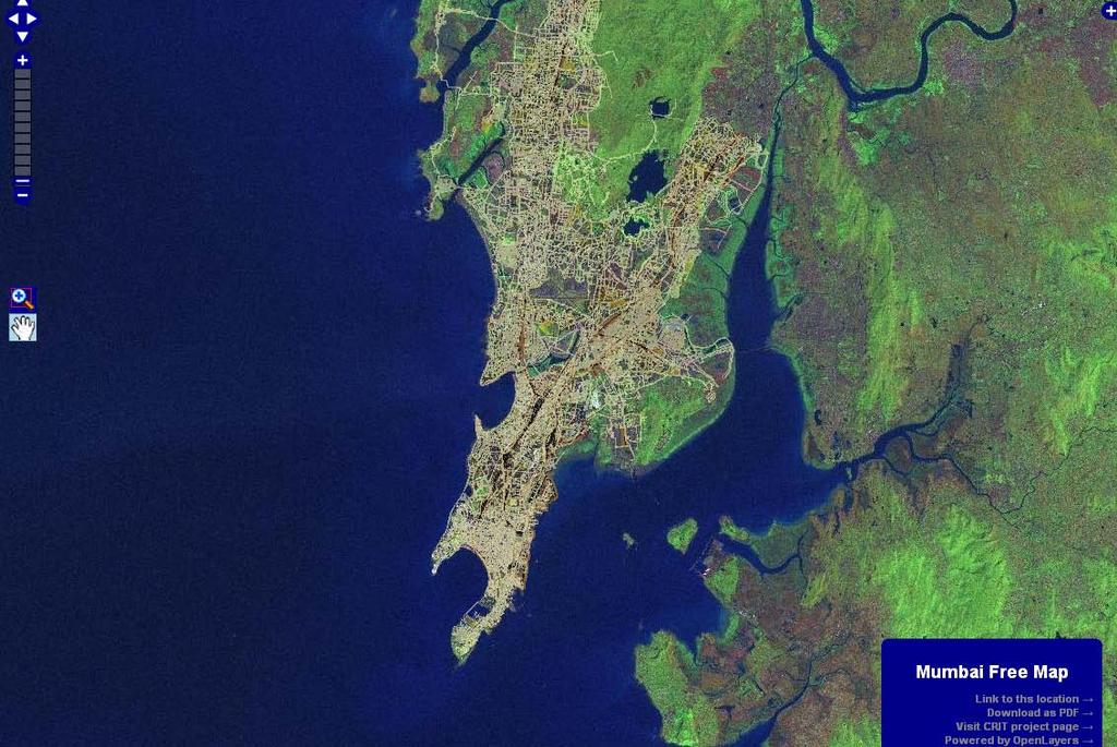
14 Open Layers Allows one to easily put a dynamic map into a web page using their 20-second tutorial Can display map tiles and markers from any source Actively being developed Example HTML to insert a map: <iframe src=" width="400px" height="200px" scrolling="no" marginwidth="0" marginheight="0" frameborder="0"> </iframe> 14
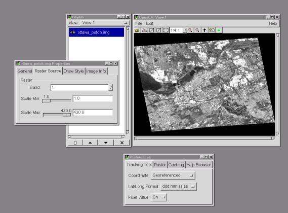
15 15
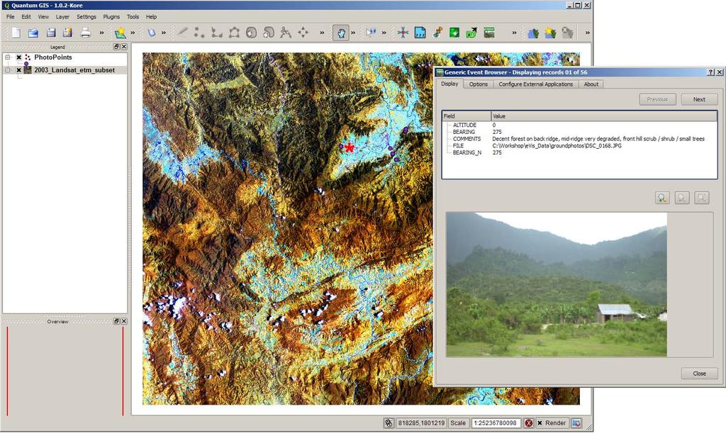
16 GRASS Around since 1982 and is currently undergoing changes to make it more user friendly and more usable on Windows computers Raster (including voxel) and vector GIS, image processing, graphics production, and spatial modeling system Includes sophisticated processing algorithms and the ability to link with other open source software such as QGIS, Python, and R Translated into several languages Very active users group 16

17 Slide by Markus Neteler, The GRASS GIS software presented at GIS Seminar Politecnico di Milano, Revised July

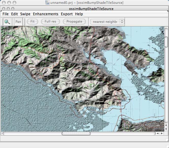
18 Slide by Markus Neteler, The GRASS GIS software presented at GIS Seminar Politecnico di Milano, Revised July

19 Slide by Markus Neteler, The GRASS GIS software presented at GIS Seminar Politecnico di Milano, Revised July

20 Slide by Markus Neteler, The GRASS GIS software presented at GIS Seminar Politecnico di Milano, Revised July
21 Quantum GIS Run on Windows, Macintosh, and Linux/Unix Supports vector, raster, WMS, and database data Rapidly growing community of developers and users Initial focus on vector processing with rater overlay but GRASS functionality is being ported for raster processing Plug-in contributions are being developed to extend capabilities Developing an easy to use map layout features 21
22 22
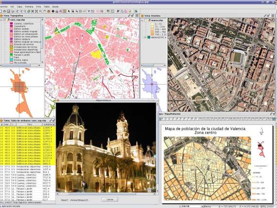
23 gvsig Developed using Java and runs on Windows, Mac OS X, and Linux Supports vector, raster, WMS, and database data Rapidly growing community of developers and users Developing a version for mobile devices Receiving support from the European Union Integrating advanced raster and vector functions 23
24 24
25 OSSIM High performance engine for remote sensing, image processing, GIS, and photogrammetry. Funded by several US Government agencies in intelligence and defense community Designed as a series of software libraries written in C++ Includes a GUI called ImageLinker and virtual Earth called ossimplanet Uses image processing chains that are effectively a series of processing steps that can be created, saved, and edited 25
26 26
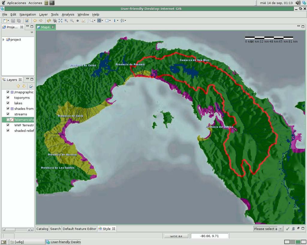
27 GDAL / OGR Cross platform C++ translator library for raster and vector geospatial data formats Single geospatial data model for all formats The most widely used geospatial data access library - supports over 50 raster (GDAL) and over 20 vector (OGR) formats Plugin architecture and bindings for Python, Java, Perl, Ruby, R Utilities for: Format translation Spatial filtering Attribute filtering Reprojection/warping Mosaicing 27
28 GeoTools Open source GIS toolkit using the latest Java tools and environments Modular architecture allows extra functionality to be easily incorporated Implements Open Geospatial Consortium (OGC) specifications as they are developed Uses the Java Topology Suite (JTS) Two rendering engines: LiteRenderer Stateless, low memory for server-side environments J2D Stateful renderer with optimization for update rate for client-side display 28
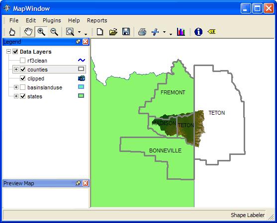
29 GeoNetwork opensource Catalog application to manage spatially referenced data and enable access to these data Provides metadata editing and search functions and the ability to publish these data via the Internet Developed to improve access to spatial by enhancing the exchange and sharing of data between organizations and their audience Supported by FAO, WFP, and UNEP 29
30 30
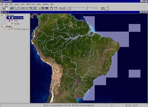
31 A few other open source geospatial desktop tools Moteverdi and Orfeo Toolbox (OTB) OpenEV udig MapWindow Jump/OpenJUMP R ILWIS 31
32 OpenEV Image and vector viewer with a growing list of analysis and editing capabilities Runs on PC, Linux, and UNIX systems Reads and writes a wide variety of image format and data types including complex data Easily customized and extended using the Python programming language Most robust version is FWTools: 32
33 33
34 udig Based on Java so it runs on all computers that support Java Incorporates GeoTools Developed with a robust plug-in architecture Primarily aims to be a fully functional desktop GIS program but some image processing capabilities may be added in the future 34
35 35
36 MapWindow Windows only Professional support available Leverages ActiveX technology Recently released as open source and user base is growing rapidly Getting support from numerous US government grants 36
37 37
38 OpenJUMP Based on the JUMP program developed by Vivid Solutions Simple to use desktop GIS program for viewing and manipulating vector data sets Written in Java so it runs on Windows, MacOSX, Linux, and various UNIX systems Supports Open GIS standards Can access Web Map Server (WMS) data 38
39 39
40 R is an integrated suite of software facilities for data manipulation, calculation and graphical display R Recent development of packages that facilitate processing of image and vector data Provides sophisticated algorithms for working with spatial data Works on all major operating systems Convenient system for updating the core program and packages 40
41 41
42 How can you join in the fun? Go to the OSGeo website ( and find a project of interest Download some of the software packages and explore their capacities and limitations Join or browse on-line discussions (IRC chat, list servers, forums) to see what people are talking about Get actively involved with a project you can have a significant impact 42
43 Closing thoughts Open source software is an important component of the principals of the Creative Commons improve access while guarding intellectual property rights There is a big difference between making data available and making it accessible open source is all about access! Open source software is ideal for developing and sharing (with everyone) algorithms, models, and application tool-sets 43
OSGeo Web Mapping Typification: GeoMajas, Mapbender, MapFish and OpenLayers. Christoph Baudson Arnulf Christl FOSS4G 2010 Barcelona
 OSGeo Web Mapping Typification: GeoMajas, Mapbender, MapFish and OpenLayers Christoph Baudson Arnulf Christl FOSS4G 2010 Barcelona Disclaimer All information contained in this presentation has been compiled
Developing a Free and Open Source Software based Spatial Data Infrastructure. Jeroen Ticheler
 Developing a Free and Open Source Software based Spatial Data Infrastructure Jeroen Ticheler 1 License This work is licensed under the Creative Commons Attribution-NonCommercial-ShareAlike 2.5 License.
Introduction to Open Source GIS
 Introduction to Open Source GIS a practical overview Michael Gerlek Karsten Vennemann Aaron Racicot Dane Springmeyer Cascadia Users of Geospatial Open Source Cascadia Chapter of the Open Source Geospatial
ITS488 Geographic Informa5on System
 ITS488 Geographic Informa5on System 11-1 Open source GIS 2014 10 29 Teerayut Horanont, PhD Sirindhorn Interna5onal Ins5tute of Technology (SIIT) Thammasat University E: teerayut@siit.tu.ac.th 10/29/14
Implementing Web GIS Solutions
 Implementing Web GIS Solutions using open source software Karsten Vennemann Seattle Talk Overview Talk Overview Why and What What is Open Source (GIS)? Why use it? Application Components Overview of Web
A Survey of Open Source Geospatial Software Bob Bruce, P.Eng Mapping and Geomatics Branch, Manitoba Conservation
 A Survey of Open Source Geospatial Software Bob Bruce, P.Eng Mapping and Geomatics Branch, Manitoba Conservation WWW.HWPS.CA Bob.Bruce@gov.mb.ca MUUG Meeting Tuesday, 11 September 2007 access this presentation
OPEN SOURCE SOLUTIONS FOR SURVEYORS
 2 nd Sabah International Surveyors Congress 11 th 12 th March 2014 OPEN SOURCE SOLUTIONS FOR SURVEYORS Presented By : Sr Alexander Chong Director, Jurukur Antarabangsa The Benefits Of Closed Proprietary
Gli ultimi sviluppi di GRASS
 Gli ultimi sviluppi di GRASS Settimo Meeting degli utenti italiani di GRASS Genova, 23-24 Feb 2006 M. Neteler and GRASS Development Team neteler at itc it http://mpa.itc.it - http://grass.itc.it ITC-irst,
EWRG-CES. Bharath Setturu EWRG, CES, IISc
 Bharath Setturu EWRG, CES, IISc What is Free and Open Source? Free and Open source describes a broad general type of free software license that makes source code available to the general public with no
Free and Open Source Geospatial Tools for Environmental Modeling and Management
 International Congress on Environmental Modelling and Software Brigham Young University BYU ScholarsArchive 3rd International Congress on Environmental Modelling and Software - Burlington, Vermont, USA
GeoNode Intro & Demo
 GeoNode Intro & Demo Cristiano Giovando - Global Facility for Disaster Reduction and Recovery, World Bank Paolo Corti - Center for Geographic Analysis, Harvard University Dynamic Mapping of Secondary Cities
Introducing Quantum GIS. Tim Sutton QGIS Release Manager and Developer
 Introducing Quantum GIS Tim Sutton QGIS Release Manager and Developer tim@linfiniti.com http://linfiniti.com What is QGIS? A Free, Open Source Desktop GIS application A set of developer libraries for building
Open Source Software: What and Why?
 ESRI and Open Source A Love Story Presented by Bates Rambow Open Source Software: What and Why? What Software that has its source code published for anyone to inspect the source code. Generally released
Open Source. Dr Mike Smith. Kingston University London. #kingstongis
 Open Source #kingstongis Dr Mike Smith Kingston University London http://cdn.coresites.factorymedia.com/mpora_new/wp-content/uploads/2015/03/beer.jpg https://upload.wikimedia.org/wikipedia/commons/1/13/%22gera%c3%a7%c3%a3o_%c3%a0_rasca%22_demonstration.jpg
Web Map Servers. Mark de Blois. Septembre 2016
 Web Map Servers Mark de Blois Septembre 2016 Learning Objectives After this lecture you will be able to understand web map servers as used in Web-GIS applications Introduction A Web Map Server is a computer
Introduction to Autodesk MapGuide EnterpriseChapter1:
 Chapter 1 Introduction to Autodesk MapGuide EnterpriseChapter1: In this chapter, you review the high-level key components that comprise Autodesk MapGuide Enterprise. The Autodesk MapGuide Studio, an integral
Introduction to Autodesk MapGuide EnterpriseChapter1:
 Chapter 1 Introduction to Autodesk MapGuide EnterpriseChapter1: In this chapter, you review the high-level key components that make up Autodesk MapGuide Enterprise. The Autodesk MapGuide Studio, an integral
County of Los Angeles. Chief Information Office Preferred Technologies for Geographic Information Systems (GIS) Version 2 May 2015
 Version 2 May 2015") County of Los Angeles Chief Information Office Preferred Technologies for Geographic Information Systems (GIS) Version 2 May 2015 CIO Preferred Technologies for GIS This document lists the preferred Geographic
County of Los Angeles Chief Information Office Preferred Technologies for Geographic Information Systems (GIS) Version 2 May 2015 CIO Preferred Technologies for GIS This document lists the preferred Geographic
gvsig Lecture 3 gvsig: an advanced GIS client
 gvsig Lecture 3 gvsig: an advanced GIS client INDEX What is gvsig Features Supported formats Main Functions Developers guide to gvsig Internal organization Object model Used libraries Plugins The future
GIS Sys tem. Images. Image Processing. Statistical Reports. System. Maps. Map Digitizing. Statistical. Analysis System Spatial Data Base.
 Images Maps Map Digitizing System Image Processing System Statistical Analysis System Statistical Reports Geographic Analysis System Spatial Data Base Attribute Data Base Database Management System GIS
Introduction to QGIS
 Introduction to QGIS David Kramar, Ph.D. Minnesota State University Moorhead Department of Anthropology and Earth Science http://www.qgis.org/en/site/ Overview of Workshop What is QGIS? How do I get QGIS
Using the Network Common Data Form for storage of atmospheric data
 Using the Network Common Data Form for storage of atmospheric data Maarten Plieger Royal Netherlands Meteorological Institute The NetCDF4 data format (Network Common Data Form) is used within the ADAGUC
But before understanding the Selenium WebDriver concept, we need to know about the Selenium first.
 As per the today s scenario, companies not only desire to test software adequately, but they also want to get the work done as quickly and thoroughly as possible. To accomplish this goal, organizations
Features and Benefits
 AUTODESK MAPGUIDE ENTERPRISE 2010 Features and Benefits Extend the reach and value of your spatial information using Autodesk MapGuide Enterprise 2010 software. Access design and spatial data from a variety
GeoNetwork: metadata and cataloging French (GeoSource) and Swiss (geocat.ch) experiences
 and Swiss (geocat.ch) experiences") GeoNetwork: metadata and cataloging French (GeoSource) and Swiss (geocat.ch) experiences camptocamp SA / 12. mars 2009 / www.camptocamp.com / info@camptocamp.com Camptocamp, a Franco-Swiss company A Franco-Swiss
GeoNetwork: metadata and cataloging French (GeoSource) and Swiss (geocat.ch) experiences camptocamp SA / 12. mars 2009 / www.camptocamp.com / info@camptocamp.com Camptocamp, a Franco-Swiss company A Franco-Swiss
Regarding the quality attributes, the architecture of the system must be:
 The SDSS System Overview This chapter gives an overview of the software architecture of the RiskChanges SDSS system. One of the objectives within the project is the development of a SDSS system for probabilistic
ASTROWEB ASTROINFORMATICS PROJECT AND COMPARISON OF THE WEB-GIS PROTOCOL STANDARDS
 Proceedings of the IX Bulgarian-Serbian Astronomical Conference: Astroinformatics (IX BSACA) Sofia, Bulgaria, July 2-4, 2014, Editors: M. K. Tsvetkov, M. S. Dimitrijević, O. Kounchev, D. Jevremović and
Lecture note on the history and principles of geo-webservices
 A SHORT INTRODUCTION TO GEO-WEBSERVICES Lecture note on the history and principles of geo-webservices Barend Köbben Version 1.0 February 24, 2010 Contents 1 From monolithic to distributed GIS architectures
SEXTANTE, a free platform for geospatial analysis
 SEXTANTE, a free platform for geospatial analysis Olaya, Victor May 20, 2009 1 Introduction The SEXTANTE project 1 aims to create a platform for the development of geoalgorithms that makes it easy both
The geospatial metadata catalogue. FOSS4G Barcelona. Jeroen Ticheler. Founder and chair. Director
 The geospatial metadata catalogue FOSS4G2010 - Barcelona Jeroen Ticheler Director Founder and chair GeoNetwork opensource Dutch National Geo Registry FAO GeoNetwork SwissTopo geocat.ch GeoNetwork history
Beyond PostGIS. New developments in Open Source Spatial Databases. Karsten Vennemann. Seattle
 New developments in Open Source Spatial Databases Karsten Vennemann Seattle Talk Overview Intro Relational Databases PostGIS JASPA INGRES Geospatial MySQL Spatial Support HatBox a user space extension
Providing Interoperability Using the Open GeoServices REST Specification
 2013 Esri International User Conference July 8 12, 2013 San Diego, California Technical Workshop Providing Interoperability Using the Open GeoServices REST Specification Satish Sankaran Kevin Sigwart What
Welcome to the Introduction to Mapbender
 0 Welcome to the Introduction to Mapbender Author: Astrid Emde Author: Christoph Baudson Version: 1.0 License: Creative Commons Date: 2010-08-30 1 Table of Contents 1 Project Overview 2 1.1 Geoportal Framework
The Butterfly Effect. A proposal for distribution and management for butterfly data programs. Dave Waetjen SESYNC Butterfly Workshop May 10, 2012
 The Butterfly Effect A proposal for distribution and management for butterfly data programs Dave Waetjen SESYNC Butterfly Workshop May 10, 2012 http://butterfly.ucdavis.edu Citizen Science based Observation
Risk Habitat Megacity
 Contact Internet: Coordination: Data management: www.risk-habitat-megacity.ufz.de Dr. Dirk Heinrichs [dirk.heinrichs@ufz.de] Dr. Kerstin Krellenberg [kerstin.krellenberg@ufz.de] Christian Gadge [christian.gadge@ufz.de]
Open source technologies and INSPIRE network services in Slovak environmental agency
 Open source technologies and INSPIRE network services in Slovak environmental agency Peter Mozolík, Martin Koška, Marek Žiačik, Martin Tuchyňa Slovak Environmental Agency (SEA) SEA role within slovak SDI
Free and Open Source Desktop GIS Projects and Software: An Analysis
 Free and Open Source Desktop GIS Projects and Software: An Analysis Stefan Steiniger, University of Calgary, Canada Swiss NSF Project: PAGEVIS-LD Email: ssteinig@ucalgary.ca 15.07.2009 1 OrbisGIS MapWindow
Who are we? Randal Hale. Nathan Saylor. GIS Coordinator for Hardin Co. Owner of North River Geographic Systems. Consultant. Owner of Saylor Mapping
 Who are we? Nathan Saylor Randal Hale GIS Coordinator for Hardin Co. Owner of North River Geographic Systems Owner of Saylor Mapping Consultant Been doing GIS since 2005 Been in the GIS Industry 20 something
pgrouting extends the postgis/postgresql geospatial database to provide geospatial routing and other network analysis functionality.
 Workshop: 1 pgrouting extends the postgis/postgresql geospatial database to provide geospatial routing and other network analysis functionality. Attendee s previous knowledge: SQL (PostgreSQL, PostGIS)
User Friendly Desktop Internet GIS (udig) for OpenGIS Spatial Data Infrastructures
 for OpenGIS Spatial Data Infrastructures") User Friendly Desktop Internet GIS (udig) for OpenGIS Spatial Data Infrastructures PART A Solicitation #: Client Reference #: 23516-03GEOI/A 23516-3-GEOI GeoInnovations Target Area: 1 (GML Tools / WFS
User Friendly Desktop Internet GIS (udig) for OpenGIS Spatial Data Infrastructures PART A Solicitation #: Client Reference #: 23516-03GEOI/A 23516-3-GEOI GeoInnovations Target Area: 1 (GML Tools / WFS
Web 2.0 and Geospatial Convergence
 6 th Annual GIS Day @ KU Symposium Web 2.0 and Geospatial Convergence Geoff Zeiss, Director of Technology 1 Worldwide Challenges 2 Global Climate Change The Norwegian Nobel Committee THE NOBEL PEACE PRIZE
udig User friendly Desktop Internet GIS Final Report
 udig User friendly Desktop Internet GIS Final Report Submitted To: Program Manager GeoConnections Victoria, BC, Canada Submitted By: Jody Garnett Refractions Research Inc. Suite 400 1207 Douglas Street
Development of Java Plug-In for Geoserver to Read GeoRaster Data. 1. Baskar Dhanapal CoreLogic Global Services Private Limited, Bangalore
 Development of Java Plug-In for Geoserver to Read GeoRaster Data 1. Baskar Dhanapal CoreLogic Global Services Private Limited, Bangalore 2. Bruce Thelen CoreLogic Spatial Solutions, Austin, USA 3. Perumal
QGIS Plugins FOSS4G From Must-Haves to insider Sourcepole AG, Switzerland
 FOSS4G 2015 From Must-Haves to insider tips @PirminKalberer Sourcepole AG, Switzerland www.sourcepole.com About Sourcepole > QGIS > > > > Core dev. & Project Steering Commitee QGIS Server, Printing, Plugins,
Session 7.3: Special interest points in the realisation of databases
 Session 7.3: Special interest points in the realisation of databases V1 Pier-Giorgio Zaccheddu Federal Agency for Cartography and Geodesy (BKG) Richard-Strauss-Allee 11 60598 Frankfurt am Main Tel.: +49
GEOSPATIAL ERDAS APOLLO. Your Geospatial Business System for Managing and Serving Information
 GEOSPATIAL ERDAS APOLLO Your Geospatial Business System for Managing and Serving Information ERDAS APOLLO Do you have large volumes of data, a geographicallydistributed user base and rapidly changing
1.0 General AUTODESK S ENTRY INTO OPEN SOURCE QUESTIONS AND ANSWERS FOR CUSTOMERS MARCH 2006 UPDATE UPDATES IN BLUE
 AUTODESK S ENTRY INTO OPEN SOURCE QUESTIONS AND ANSWERS FOR CUSTOMERS MARCH 2006 UPDATE UPDATES IN BLUE 1.0 General 1.1 What s the background? In late 2005, several groups, developers and individuals joined
FDO Data Access Technology at a Glance
 Autodesk Geospatial FDO Data Access Technology at a Glance Work seamlessly with your geospatial data whatever the format 1 The Challenge The growing need for openness and interoperability between traditional
THE POSIT TOOLSET WITH GRAPHICAL USER INTERFACE
 THE POSIT TOOLSET WITH GRAPHICAL USER INTERFACE Martin Baillie George R. S. Weir Department of Computer and Information Sciences University of Strathclyde Glasgow G1 1XH UK mbaillie@cis.strath.ac.uk george.weir@cis.strath.ac.uk
Interoperability and Standards Supports in ArcGIS
 Esri International User Conference San Diego, California Technical Workshops July 26, 2012 Interoperability and Standards Supports in ArcGIS Satish Sankaran, Esri Yingqi Tang, Esri Agenda Esri s participation
An Open Source Software approach to Spatial Data Infraestructures.
 Second Part INSPIRE and SDI: heterogeneous GI accessing solution An Open Source Software approach to Spatial Data Infraestructures. Study of different scenarios Second Part: INDEX I. Intro: SDI: Beginings,
InCLUDE Data Exchange. Julia Harrell, GISP GIS Coordinator, NC DENR
 InCLUDE Data Exchange Julia Harrell, GISP GIS Coordinator, NC DENR Julia.harrell@ncdenr.gov InCLUDE Project Partners NC Department of Environment & Natural Resources: The State of NC s lead environmental
TABLE OF CONTENTS 1. INTRODUCTION DEFINITIONS Error! Bookmark not defined REASON FOR ISSUE 2 3. RELATED DOCUMENTS 2 4.
 TABLE OF CONTENTS 1. INTRODUCTION 1 1.1 DEFINITIONS Error! Bookmark not defined. - 2 2. REASON FOR ISSUE 2 3. RELATED DOCUMENTS 2 4. OVERVIEW 2-3 5. HARDWARE ARCHITECTURE 3 6. SUPPORTED CONFIGURATIONS
Mapping, Visualization, and Digitization of the Geo-Referenced Information: A case study on Road Network Development in Near Real Time
 Mapping, Visualization, and Digitization of the Geo-Referenced Information: A case study on Road Network Development in Near Real Time Ronak Jain 1, Himansi Bhatt 2, Nithya Jeevanand 2, Praveen Kumar 3
METAINFORMATION INFRASTRUCTURE FOR GEOSPATIAL INFORMATION
 2010/2 PAGES 1 7 RECEIVED 15. 6. 2009 ACCEPTED 2. 3. 2010 T. KLIMENT METAINFORMATION INFRASTRUCTURE FOR GEOSPATIAL INFORMATION ABSTRACT Tomáš KLIMENT email: tomas.kliment@stuba.sk Research field: Spatial
Open Source Geospatial. The One True Path to Enlightenment
 Open Source Geospatial The One True Path to Enlightenment HUP! I had the opportunity to spend a few hours walking about Delft yesterday, and I kept coming across the same phrase, over and over. "hup holland
PostGIS: future developments
 PostGIS: future developments What is PostGIS GPL PostgreSQL extension for Geographic Objects Types Operators Functions Indexes Standard interfaces Extension API Current features OpenGIS Simple Features
NFMS web portals Focus on monitoring functions
 NFMS web portals Focus on monitoring functions National Forest Monitoring System web portal to disseminate forest-related geospatial data on the web Dr. Inge Jonckheere, FAO UN-REDD October 2014, Hanoi,
Intro to FOSS. What is FOSS?
 Intro to FOSS What is FOSS? Outline Key principles of FOSS Some key players in early FOSS History of FOSS movement Why you should care Which came first, the chicken or the egg? FOSS as a new movement vs.
Web Mapping Illustrated: Using Open Source GIS Toolkits By Tyler Mitchell READ ONLINE
 Web Mapping Illustrated: Using Open Source GIS Toolkits By Tyler Mitchell READ ONLINE If you are searched for a ebook Web Mapping Illustrated: Using Open Source GIS Toolkits by Tyler Mitchell in pdf format,
Sharing geographic data across the GEF IW Portfolio: IW:LEARN Web-based GIS
 1 Sharing geographic data across the GEF IW Portfolio: IW:LEARN Web-based GIS 16-22 March 2009 Sean Khan (Project Manager) sean.khan@unep.org Dr. Richard Cooper (Regional Coordinator) richard@iwlearn.org
This document does not represent a commitment to implement any portion of this specification in any company s products.
 Copyright Notice Copyright 2003 Harvard University The companies and organizations listed above have granted the Open GIS Consortium, Inc. (OGC) a nonexclusive, royalty-free, paid up, worldwide license
The GeoPortal Cookbook Tutorial
 The GeoPortal Cookbook Tutorial Wim Hugo SAEON/ SAEOS SCOPE OF DISCUSSION Background and Additional Resources Context and Concepts The Main Components of a GeoPortal Architecture Implementation Options
Putting the Pieces together: Combining Open Source Components to create a WebGIS.
 Putting the Pieces together: Combining Open Source Components to create a WebGIS. Shriram Ilavajhala University of Maryland College Park, MD. USA. Today s Topics A quick background on our project Our legacy
Setting Up and Deploying Geospatial Data Shares Using the QGIS Server Application
 Setting Up and Deploying Geospatial Data Shares Using the QGIS Server Application Donald L. Schrupp Wildlife Ecologist Colorado Division of Wildlife (retired) Quantum GIS (QGIS) Applications QGIS is not
From Synergie and Oppidum to Synopsis
 From Synergie and Oppidum to Synopsis M.-F. VOIDROT & A. LASSERRE-BIGORRY EGOWS Meeting ECMWF, June 2010 2 Overview Synergie and Oppidum : Two operational tools for forecasting at Meteo-France (and web
ARCHITECTURE OF SPATIAL DATA INFRASTRUCTURE (SDI) (DRAFT)
 (DRAFT)") ARCHITECTURE OF SPATIAL DATA INFRASTRUCTURE (SDI) (DRAFT) Author: Carlo Cipolloni September 20, 2018 Version 1.0 A SDI platform to support the SEIS in the ENP South region Introduction Based on the Contribution
ARCHITECTURE OF SPATIAL DATA INFRASTRUCTURE (SDI) (DRAFT) Author: Carlo Cipolloni September 20, 2018 Version 1.0 A SDI platform to support the SEIS in the ENP South region Introduction Based on the Contribution
Oracle Spatial Users Conference
 April 2006 April 27, 2006 Tampa Convention Center Tampa, Florida, USA April 2006 Michael Smith Physical Scientist Remote Sensing/GIS Center of Expertise Army Corps of Engineers Engineer Research & Development
MONTHLY TEST MAY 2017 QUESTION BANK FOR AVERAGE STUDENTS. Q.2 What is free software? How is it different from Open Source Software?
 MONTHLY TEST MAY 2017 QUESTION BANK FOR AVERAGE STUDENTS Q.1. What is OSS? It refers to Open Source Software, which are modifiable, redistributable but may or may not be available free of cost. Source
Advances in GIS help create Smarter Communities
 Advances in GIS help create Smarter Communities POP(ovich) Quiz Who is a Desktop User? Who is an ArcGIS Online User? Who is a ArcGIS Server Admin? Who is a Programmer? Who works with or for a government
Application of the Catalogue and Validator tools in the context of Inspire Alberto Belussi, Jody Marca, Mauro Negri, Giuseppe Pelagatti
 Application of the Catalogue and Validator tools in the context of Inspire Alberto Belussi, Jody Marca, Mauro Negri, Giuseppe Pelagatti Politecnico di Milano giuseppe.pelagatti@polimi.it spatialdbgroup.polimi.it
QGIS VFK plugin for Czech cadastral data
 Anna Kratochvílová, Václav Petráš Czech Technical University in Prague Faculty of Civil Engineering branch of study Geoinformatics May 22, 2012 Table of contents 1 Introduction 2 Libraries 3 Plugin functionality
Delivering mapping solutions: the open source advantage
 Health and Mapping Delivering mapping solutions: the open source advantage Barry Rowlingson School of Health and Medicine, Lancaster University Note This PDF document is a conversion of the original animated
Practical introduction to GRASS and related software for beginners
 Sydney, Australia 20-23 Oct. 2009 Practical introduction to GRASS and related software for beginners Marco Ciolli, Clara Tattoni and Paolo Zatelli Department of Civil and Environmental Engineering University
A comparison of GIS Mobile Applications. Miguel Montesinos & Javier Carrasco
 A comparison of GIS Mobile Applications Miguel Montesinos & Javier Carrasco mmontesinos/jcarrasco@prodevelop.es Agenda 1. 2. 3. 4. 5. 6. 7. Introduction Products Platforms Open source analysis Feature
By Robert Slivinsky 1
 By Robert Slivinsky 1 Tell HC Mobile Application SQL Server 2008 GeoServer GeoExt- Open Layers 2 3 Desktop Splash Page 2 sec GPS/Location Approval 4 Homepage Meat - Form Categories from EOCcalls 5 Description
Introduction THE OPENGEO ARCHITECTURE
 Introduction Putting maps on the web used to be very very difficult. It required specialized software, and more important, specialized knowledge about the kinds of data and processes used to create cartographic
PRODUCT BROCHURE ERDAS APOLLO MANAGING AND SERVING GEOSPATIAL INFORMATION
 PRODUCT BROCHURE ERDAS APOLLO MANAGING AND SERVING GEOSPATIAL INFORMATION ERDAS APOLLO Do you have large volumes of geospatial information, regularly updated data stores, and a distributed user base? Do
Leveraging OGC Services in ArcGIS Server
 Esri International User Conference San Diego, CA Technical Workshops Jul.14 th 2011 Leveraging OGC Services in ArcGIS Server Satish Sankaran Yingqi Tang Agenda Interoperability
Geo-Based Image Analysis Service In Open Source Cloud Computing Environment
 Free and Open Source Software for Geospatial (FOSS4G) Conference Proceedings Volume 15 Seoul, South Korea Article 20 2015 Geo-Based Image Analysis Service In Open Source Cloud Computing Environment Sanggoo
Regular Forum of Lreis. Speechmaker: Gao Ang
 Regular Forum of Lreis Speechmaker: Gao Ang Content: A. Overview of Eclipse Project B. Rich Client Platform C. The progress of ustudio Project D. The development of Grid technology and Grid GIS E. Future
EarthCube and Cyberinfrastructure for the Earth Sciences: Lessons and Perspective from OpenTopography
 EarthCube and Cyberinfrastructure for the Earth Sciences: Lessons and Perspective from OpenTopography Christopher Crosby, San Diego Supercomputer Center J Ramon Arrowsmith, Arizona State University Chaitan
Leveraging OGC Services in ArcGIS Server. Satish Sankaran, Esri Yingqi Tang, Esri
 Leveraging OGC Services in ArcGIS Server Satish Sankaran, Esri Yingqi Tang, Esri GIS Creating and Managing Geo Information Products - Proprietary - Open Specifications - Standards Dissemination of Geo
SDI Tecnological Components and Standards
 SDI Tecnological Components and Standards Salvador Bayarri sbayarri@gmail.com World Bank Consultant Contents The SDI architecture model Software components: the SDI stack Basic services Metadata SDI access
These are exciting times for Macintosh users. When Apple unleashed Mac
 Chapter 1 A Brief Tour of Cocoa Development In This Chapter Programming for Mac OS X Discovering the Cocoa development process Exploring the tools for programming Cocoa applications These are exciting
Croatian Motorways Road Database Management System
 Croatian Motorways Road Database Management System Marko Turković FOSS4G-Europe 2014 Presentation overview About us System introduction System component architecture Kosmo Desktop WebGIS portal Future
SMARTERDECISIONS. Geospatial Portal 2013 Open Interoperable GIS/Imagery Services with ERDAS Apollo 2013 and ERDAS Imagine 2013
 Geospatial Portal 2013 Open Interoperable GIS/Imagery Services with ERDAS Apollo 2013 and ERDAS Imagine 2013 Carahsoft Intergraph Government Solutions SMARTERDECISIONS Geospatial Portal 2013 Geospatial
AR Standards Update Austin, March 2012
 AR Standards Update Austin, March 2012 Neil Trevett President, The Khronos Group Vice President Mobile Content, NVIDIA Copyright Khronos Group, 2012 - Page 1 Topics Very brief overview of Khronos Update
Deliverable D3.12. Contract number: OJEU 2010/S Deliverable: D3.12 Author: Igor Antolovic Date: Version: Final
 Deliverable D3.12 Final and public version of the implemented web site with full functionality that hosts all relevant information on the Climate Atlas of the Carpathian Region, including a public download
Developing Web Sites with Free Software
 Developing Web Sites with Free Software Tom Wheeler Software Engineer, Object Computing Inc. (OCI) About This Presentation What this presentation is: An explanation of free software, aimed at people who
Making Open Data work for Europe
 Making Open Data work for Europe Daniele Rizzi European Commission DG Communications Networks, Content and Technology daniele.rizzi@ec.europa.eu Nikolaos Loutas PwC EU Services nikolaos.loutas@be.pwc.com
Introduction to GeoServer
 Tutorial ID: This tutorial has been developed by BVIEER as part of the IGET web portal intended to provide easy access to geospatial education. This tutorial is released under the Creative Commons license.
An Introduction to GIS for developers
 An Introduction to GIS for developers Part 4: GIS Sharing Canserina Kurnia & Tom Shippee Agenda Web GIS ArcGIS Online Cloud-based ArcGIS Server ArcGIS Server on-premises ArcGIS a complete platform discover,
Leveraging OGC Services in ArcGIS Server. Satish Sankaran Yingqi Tang
 Leveraging OGC Services in ArcGIS Server Satish Sankaran ssankaran@esri.com Yingqi Tang ytang@esri.com Agenda Interoperability Enablers OGC and esri OGC Web Services ArcGIS and OGC Web Services - @ version
A generic approach to manage metadata standards
 A generic approach to manage metadata standards Barde Julien 1, Edgington Duane 1, Desconnets Jean-Christophe 2 1 Monterey Bay Aquarium Research Institute (MBARI) 2 IRD, US ESPACE, Maison de la télédétection
FUJITSU Cloud Service K5 CF Service Functional Overview
 FUJITSU Cloud Service K5 CF Service Functional Overview December 2016 Fujitsu Limited - Unauthorized copying and replication of the contents of this document is prohibited. - The contents of this document
Brandenburg 3D a comprehensive 3D subsurface model, conception of an infrastructure node and a web application
 Brandenburg 3D a comprehensive 3D subsurface model, conception of an infrastructure node and a web application Maik Schilling 1, Andreas Simon 1, Christoph Jahnke 1, Thomas Höding 1 1 Landesamt für Bergbau,
GEOSPATIAL ENGINEERING COMPETENCIES. Geographic Information Science
 GEOSPATIAL ENGINEERING COMPETENCIES Geographic Information Science The character and structure of spatial information, its methods of capture, organisation, classification, qualification, analysis, management,
Repository In A Box (RIB)
") Repository In A Box (RIB) August 18, 2003 Yuanlei Zhang To Be Covered» Brief overview of RIB» The RIB patches» RIB v2.2 The last Perl version release» RIB v3.0 Java version release 1 RIB History & Overview»
Repository In A Box (RIB) August 18, 2003 Yuanlei Zhang To Be Covered» Brief overview of RIB» The RIB patches» RIB v2.2 The last Perl version release» RIB v3.0 Java version release 1 RIB History & Overview»
Boundless Desktop Documentation
 Boundless Desktop Documentation Release 1.0.0 Boundless Sep 20, 2017 Contents 1 What is Boundless Desktop? 1 2 System requirements 3 2.1 Windows system requirements......................................